Friday, June 22, 2012

In the desert

Panorama: Evening near Monument Valley

I mentioned last time we were going into Death Valley next. Somehow we managed to make it through Death Valley without taking a single picture between the three of us. It was bright and hot, take my word for it. We paid $20 to a small hotel just outside the park for use of their showers, and there was something... strange... about their water. It made you feel greasy. I've never got out of a shower feeling nastier than when I got in, so... that's a new experience.

After skirting around Las Vegas we got to Zion National Park, which is one of the prettiest parks I've seen, but suffers from lots of tourists. We walked a little way up 'The Narrows', a slot canyon where you hike in the Virgin River itself:
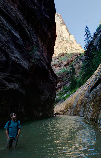
The Narrows

The shade and cool water is a perfect place to hike here on a summer day. I tried this same hike once in January and was quickly turned back by the near-freezing water.

We didn't spend long here because I wanted to do the Angel's Landing hike. This is a very steep climb (around 1400 vertical feet) to a traverse across a narrow rock fin sticking out into the canyon. I've also done this one in January, when it's much sketchier since it's covered in snow and ice and you can't really tell where the edges are.

Stopping for a rest after the big climb:
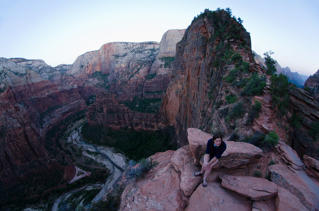
Angel's Landing

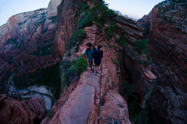
The narrowest point:

Narrow

Near the end, looking down Zion Canyon:
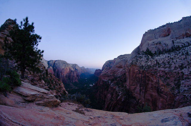
Angel's Landing

At Angel's Landing shortly after sunset:
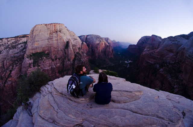
Angel's Landing

We then had to get back down in the dark, with the one emergency headlamp I keep in my backpack between the three of us. I have pretty good night vision and I'm used to walking around in the dark, so I passed it off. The real worry here has to do with that 'Zion gets lots of tourists' thing. The road into the canyon is closed to private vehicles in the summer, so you have to take a shuttle bus - which stops running sometime in the evening. If we were to miss the last bus that would add another 10-15 miles of walking back to the car. So we hurried down the trail, and as we neared the trailhead we saw a shuttle bus coming. Is that the last bus of the night? We didn't know, so we acted as if it was, and Colby rqn ahead with the headlamp to try and beat the bus to the bus stop and talk the driver into waiting. He made it, and it was actually the last bus, so that was well timed. Would have been better timed if we were 15 minutes faster but it worked out.

The next stop was the north rim of the Grand Canyon, because it was nearby and why not? Looking at Bright Angel Canyon running into the main canyon:
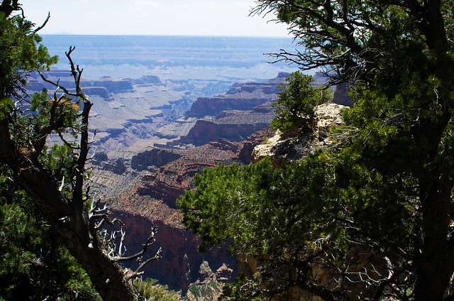
Bright Angel Canyon

Then down an unknown but interesting looking highway, which passed through several neat small towns and over Marble Canyon:
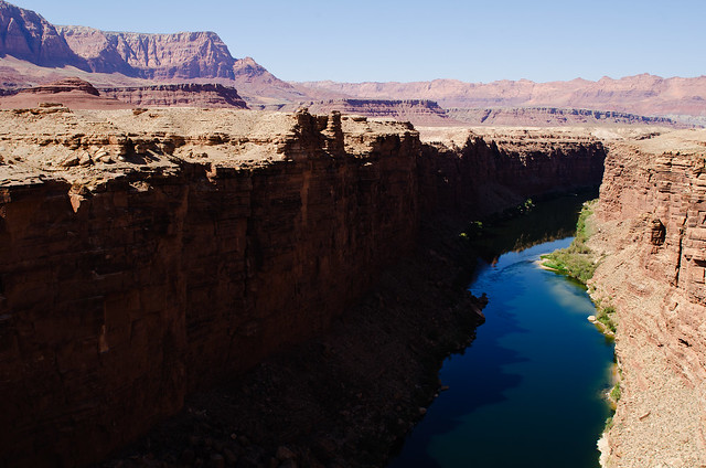
Marble Canyon

And evening just outside Monument Valley:
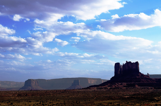
Utah Evening

We drove overnight and made it to Arkansas the next morning, where Iv'er been for the last 3-4 weeks. Tomorrow I head to Santa Fe for a week, then back north.

Oh, and happy (belated) summer solstice:


Wednesday, June 20, 2012

Over the mountain and through the woods

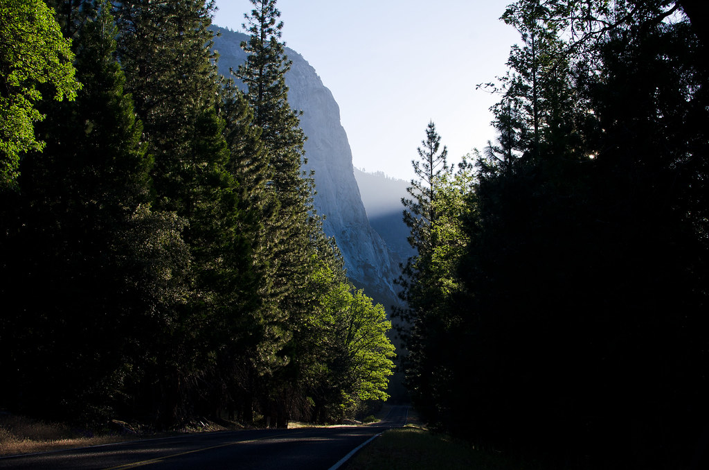
Kings Canyon Road

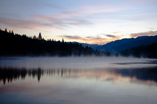
My last post shared the pictures from driving down the coast through Oregon and Northern California. Near San Francisco I turned east and headed inland towards King's Canyon and Sequoia National Parks. Pulled into the National Forest just outside the parks at dawn and saw a beautiful sunrise:
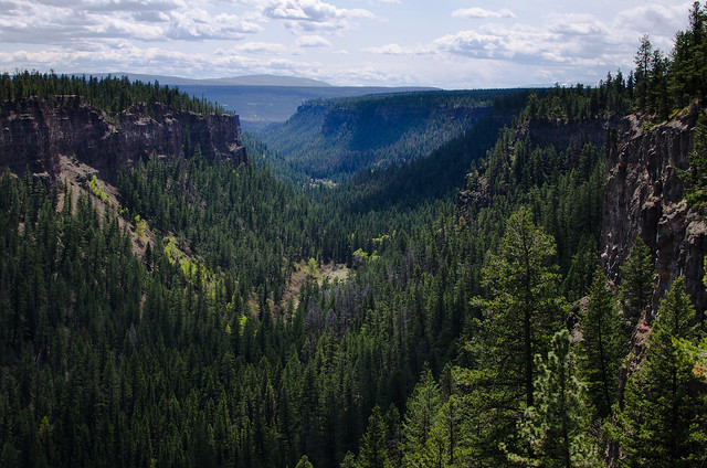
Dawn

Hume Lake

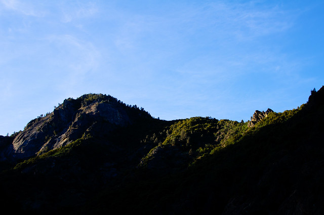
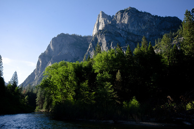
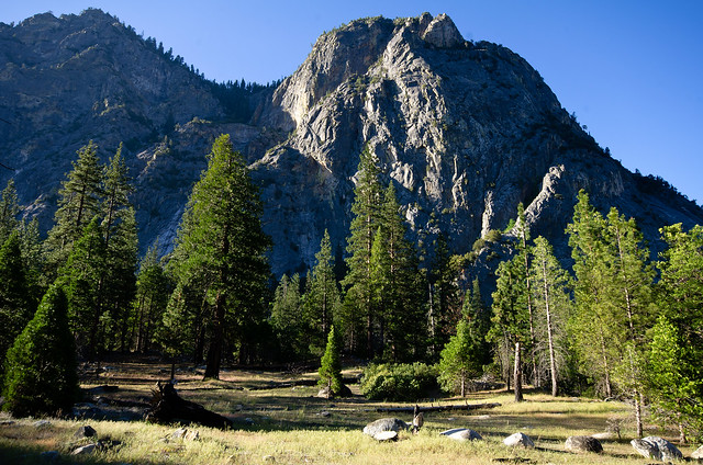
Then it was into King's Canyon proper. I've never been here and had no idea what to expect, but this park is awesome. Great scenery, appears to be fairly low-visitation, and has a large trail system into a secluded valley between high mountains. I definitely want to spend more time here. First direct light of the day was just reaching over the canyon walls when I got there:

First Light

Kings Canyon

Morning in Kings Canyon

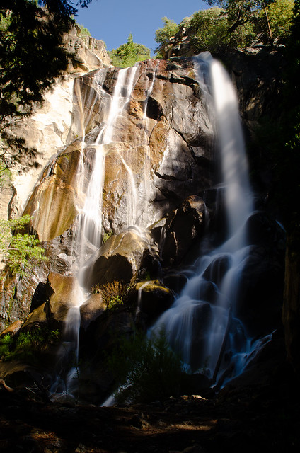
Grizzly Falls

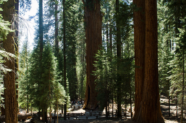
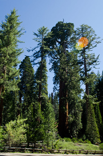
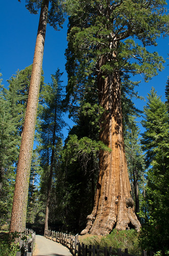
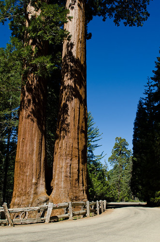
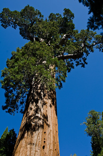
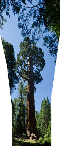
But we had places to go, so we only spent a few hours here before moving on into neighboring Sequoia National Park. Also a spectacular place, but it suffers from much more tourist visitation. The big draw here are the trees; some of the largest in the world. Note the group of people standing at the base for a sense of scale:

Just a group of people

Big tree Path

Dirt road Big Tree

Panorama: Big tree

We then found our way over to the east side of the mountain range. I really prefer to take back roads when I have the time, so I was on a small windy one-lane trying to get over the mountains, and we ended up lost for an hour or so. Which wasn't entirely bad because we were lost in a very pretty place. But finally we made it over and down into Death Valley.

Monday, June 11, 2012

West Coast

Beachcombers

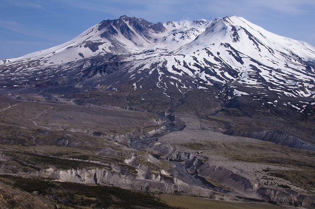
Heading south on the Sea To Sky Highway dumped me out in Vancouver BC in late afternoon. I crossed into the US and camped in a stand of trees on the outskirts of the Seattle metro area. The next morning I passed through Seattle (I'm used to unpopulated Canada, get me out of here!) and down to Olympia to meet up with a couple of friends who live there. I was to pick up some more friends at SeaTac that night, but with the day to kill we went down to Mt St Helens for a little while:

Mt St Helens

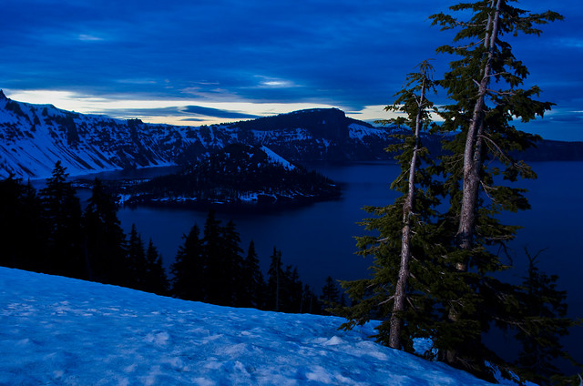
After picking up friends and spending the night in Olympia, we all set off southward. Picked up the last member of our party in Roseburg OR, which made a group of 6 who all went to school together back at Arkansas Tech, then we headed to Crater Lake. I had hoped to make it in time for sunset, but it was an hour after dark when we got there and the light was really difficult. I gave it a try, anyways:

Crater Lake

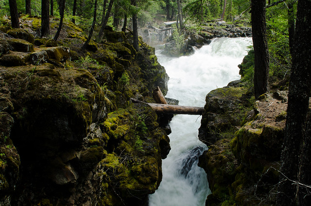
We camped along the Rogue River near a nice gorge, which we checked out in the morning:

Rogue River

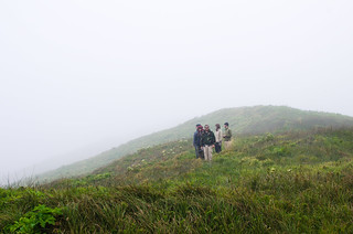
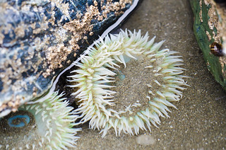
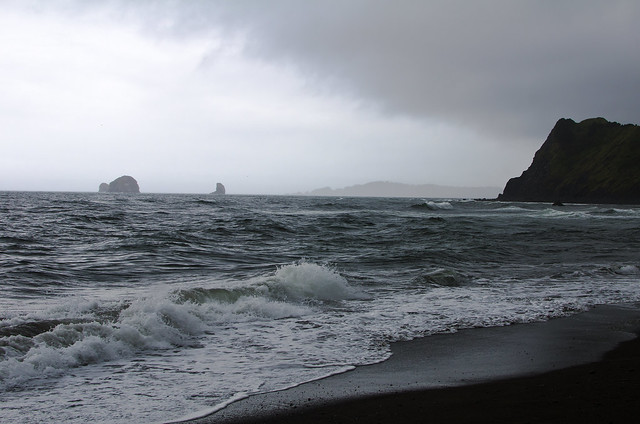
Then we used a closed backroad to head over a beautiful mountain pass and get out to the coast, where we planned to watch the solar eclipse, but our plans were foiled by heavy fog. We saw just the beginning of the eclipse before the fog blocked out the Sun completely. So instead we walked down to the beach and explored the tide pools.

Foggy hills Anemone

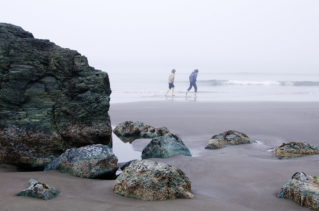
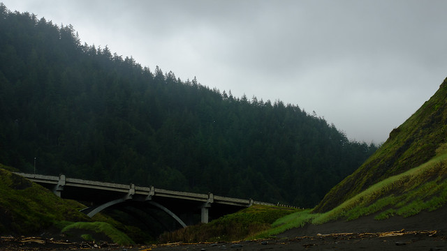
After a tasty dinner at a greasy seafood shack on the docks, we found a campsite in the woods next to the beach. The next morning we all walked down to the beach to explore more. Looking back up at the highway 101 bridge from the beach:

Highway 101 bridge

On the beach

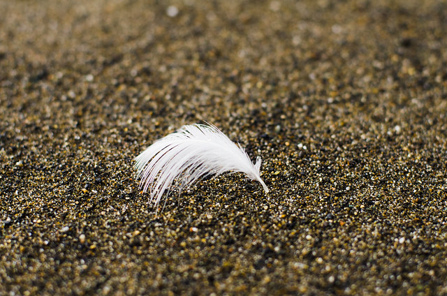
Feather in the sand

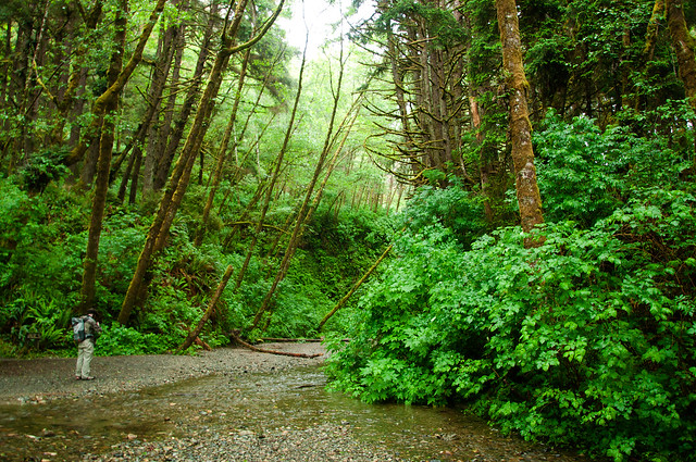
The 3 of our party who lived in Oregon and Washington headed back north, and the rest of us continued south to Redwoods National Park. Though it was still overcast and drizzling, we stopped to hike at Fern Canyon, used as a filming location in Jurassic Park 2:

Fern Canyon Fern canyon alcove

My spare camera died here from being used in the wetness :( This was one of its last photos:

In Fern Canyon

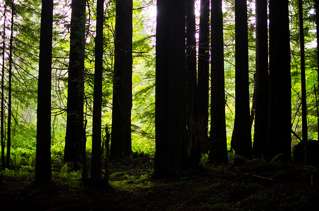
Then it was on through the Avenue of the Giants through the big trees and away from the coast, finally turning back east:

Redwood forest

Tuesday, June 5, 2012

Southern Canada

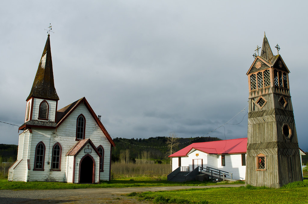
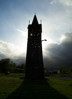
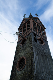
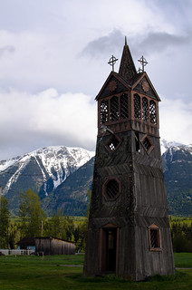
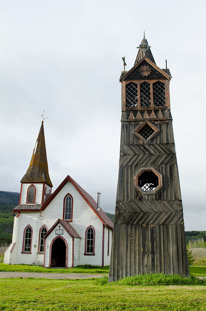
Church and bell tower

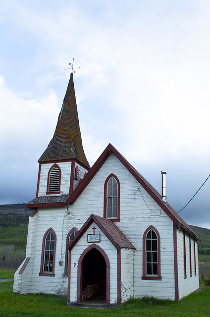
At the junction of the Cassiar and Yellowhead highways is the small community of Kitwanga. I passed through in the evening and stopped for some pictures of their Anglican church and bell tower, which is neatly old:

Kitwanga Anglican Church

Bell tower Bell tower Bell tower

Bell tower and church

Then it was east onto the Yellowhead highway. The Trans-Canada Highway is a highway system that runs east-west across the country. The Yellowhead is the northern part of the west half, and I've driven about a third of it, from Jasper to Kitwanga. It's still fairly remote, but it feels pretty populated once you get off the Cassiar. Anyway, evening clouds over the forest were cool:

Canadian Clouds

As night fell, it started to snow - a lot. It was the heaviest snowstorm I've ever driven in. You couldn't see both the yellow center line and the white shoulder line at the same time, so I was going 15-20mph.

BC Snowstorm

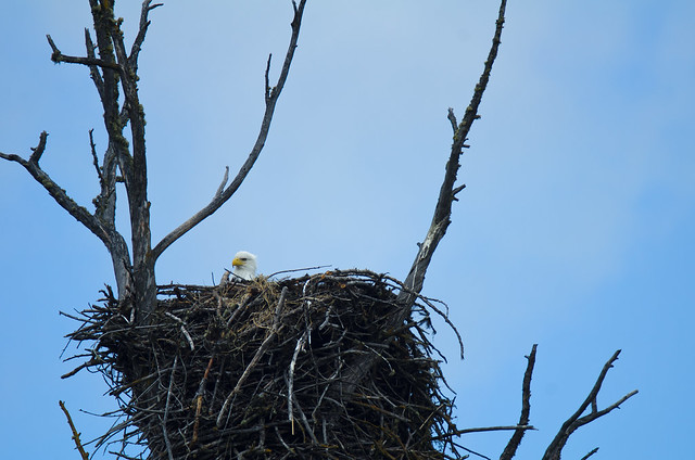
Made it to Prince George BC and turned south on the Cariboo Highway. This was originally a mule trail for gold field access, and towns along the route (like '70 Mile House', '100 Mile House') are named for old stagecoach stops. I like this part of BC, it's open, relaxed, and underpopulated. It feels 'western' in the cowboy sense, but more genuine about it than the classic 'cowboy' places in the US. The highway follows what I think is the Fraser river. I stopped next to it for a pee break and found a Bald Eagle giving me the stare from a nest:

Bald Eagle nest

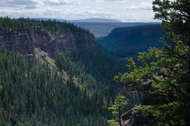
A little later I passed a highway sign that said 'Chasm -> 3km' - okay. This was there:

'Chasm'

Chasm

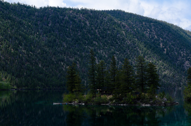
Just before the town of Cache Creek I turned back west onto the 'Sea to Sky Highway', a slower but more scenic route south to Vancouver, and quickly came to Pavilion Lake:

Panorama: Pavilion Lake

There was a little cabin on that island:

Cabin on the island

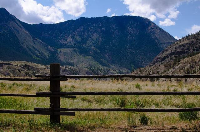
The road passes through Fraser Canyon, a deep valley cut by the river, which has its own arid microclimate. Here's a wood fence leading out to the canyon:

Fraser Canyon

The road then continues over the mountains, and is very twisty and pretty. It's what the 'Going to the Sun' Highway in Glacier National Park could be if it weren't for all the traffic. I'd like to spend more time at some of the parks through here. I didn't stop for any pictures. Arrived in Vancouver and crossed into the US an hour or so before sunset and set up camp. Continuing south next time.